

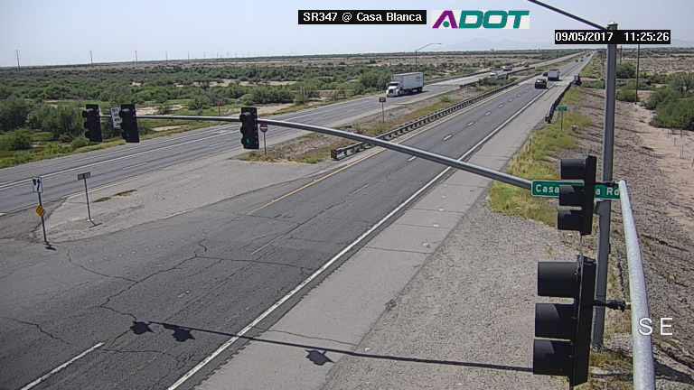
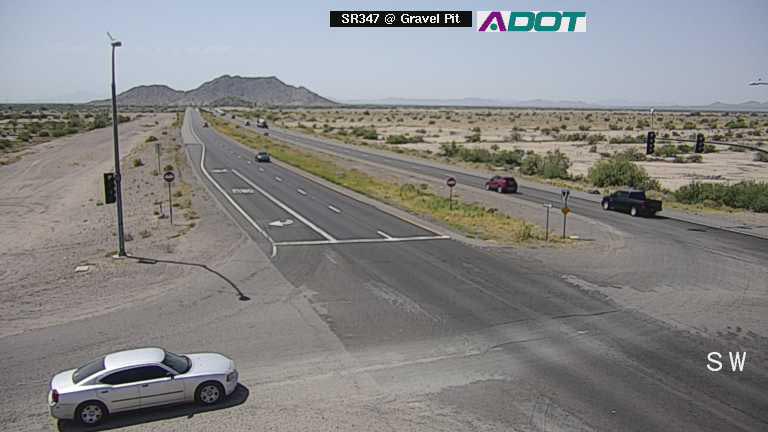
Cameras the Arizona Department of Transportation uses to monitor State Route 347 traffic between the city of Maricopa and Interstate 10 now allow drivers to view conditions themselves via az511.gov.
Nine high-definition cameras mounted on traffic signals are available through the Arizona Traveler Information site, showing intersections from Riggs Road to the north to Farrell Road to the south.
“ADOT is always looking to improve traffic flow and safety,” ADOT traffic engineer Mark Poppe said. “Giving everyone access to the Maricopa cameras allows motorists to see traffic along SR 347 firsthand and make more-informed travel decisions.”
The SR 347 intersections are Riggs Road, Gravel Pit, Casa Blanca Road, Cobblestone North, Edison Road, Maricopa-Casa Grande Highway, Honeycutt Avenue, Alterra Parkway and Farrell Road. The Honeycutt Avenue camera currently shows on the map incorrectly located at Honeycutt Road.
In 2016, ADOT installed a wireless communication system that monitors conditions on SR 347 and allows technicians in Phoenix to adjust signal timing accordingly. The system includes a series of infrared and video cameras, and the latter are now available to the public online.
Besides showing road conditions, traffic cameras are used to quickly spot crashes, allowing first responders to respond faster and allocate appropriate resources. By doing this, secondary crashes are reduced, along with traffic congestion.
ADOT maintains more than 300 traffic cameras across the state.


![An image of shredded paper. [Pixabay]](https://www.inmaricopa.com/wp-content/uploads/2024/03/shredded-paper-168650_1280-218x150.jpg "Shred-A-Thon to take place tomorrow")


![An image of shredded paper. [Pixabay]](https://www.inmaricopa.com/wp-content/uploads/2024/03/shredded-paper-168650_1280-100x70.jpg "Shred-A-Thon to take place tomorrow")
