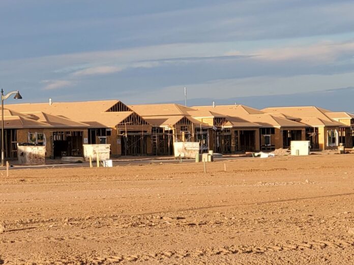
The Maricopa City Council approved a minor General Plan Land Use Amendment for Maricopa 40, a 190-home development at the northwest corner of W. Steen and N. Murphy roads. The land use for the 40-acre parcel was changed from Low Density Residential to Medium Density Residential and Commercial, then was approved for a zoning change from Industrial to Planned Area Development.
Medium density residential zoning allows for two to six homes per acre, while low density residential only allows for two or fewer homes per acre. The narrative states that the community will feature lot sizes of 40 x 115 feet and/or 45 x 120 feet.
Developer Emmerson Enterprises said in its pre-application narrative that the development will be home to a new single-family residential community planned for approximately 190 homes plus a retail site of approximately 1.5 acres.
According to the narrative, the project is designed to meet the city’s housing needs.
“This unique community meets the desires of current and future homebuyers while reflecting the area’s historic agricultural character and providing an appropriate land use solution for this undeveloped site in a growing area of Maricopa,” it says. “The property is well suited for its majority single-family residential use, due to its location adjacent to the Cortona master-planned community directly to the north and its position approximately ½ mile from the future Maricopa High School No. 2 to be located on the southwest corner of Murphy and Farrell Roads.”
The narrative says the change is compatible with the future uses of the land, given that the location near the new high school precludes large industrial uses, since heavy truck traffic would pose a safety hazard and could also pose environmental hazards for students. Both federal and state school and transportation agencies and the EPA discourage heavy industrial development near schools due to these safety concerns.
Emmerson said a separate phase of the development is planned that will include a 1.5-acre retail parcel at the southeast corner of the community. That area would, “offer flexibility and diversity to the land plan and fulfill the city’s intent for commercial development in the area,” the narrative said. “The future retail use will be determined by the end user with the opportunity for various uses such as a farmer’s market to adapt to the nearby agrarian surroundings or other neighborhood commercial development appropriate for its location.”
Emmerson said it designed the community after other projects it has in production, including the nearby McDavid Estates, located on McDavid Road and Loma Drive. Features of these communities include a small retail corner, an integrated network of open space and recreation facilities, a wide landscape tract along the property’s frontage on Murphy Road, and additional open space at each entry.


![MHS G.O.A.T. a ‘rookie sleeper’ in NFL draft Arizona Wildcats wide receiver Jacob Cowing speaks to the press after a practice Aug. 11, 2023. [Bryan Mordt]](https://www.inmaricopa.com/wp-content/uploads/2024/04/cowing-overlay-3-218x150.png)


![Alleged car thief released without charges Phoenix police stop a stolen vehicle on April 20, 2024. [Facebook]](https://www.inmaricopa.com/wp-content/uploads/2024/04/IMG_5040-218x150.jpg)


